Our capabilities
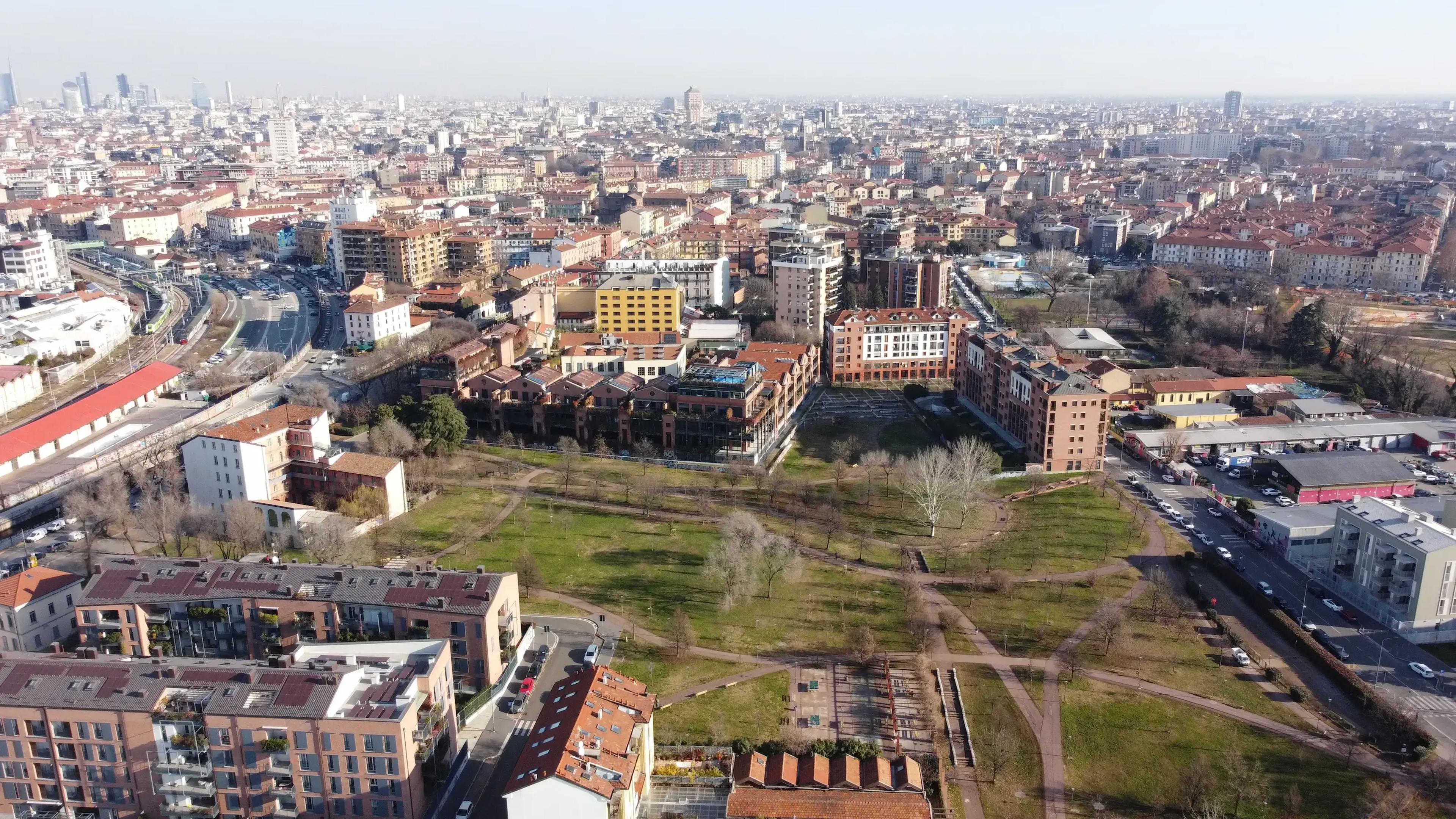
Contemporary territories are highly complex systems shaped by people, land uses, local practices, histories, rules, environmental conditions, infrastructure and available resources. Today, a land transformation project needs to turn this complexity into a practical strategy through data-driven design that can be monitored and evaluated.
Whether it is for an urban greening plan, the redevelopment of an industrial district or the restoration of an ecosystem, qualitative and quantitative data are key assets that need to be collected for a specific area and organized into an accessible dataset, so that they can be easily used by every stakeholder involved in the process to generate greater impact.
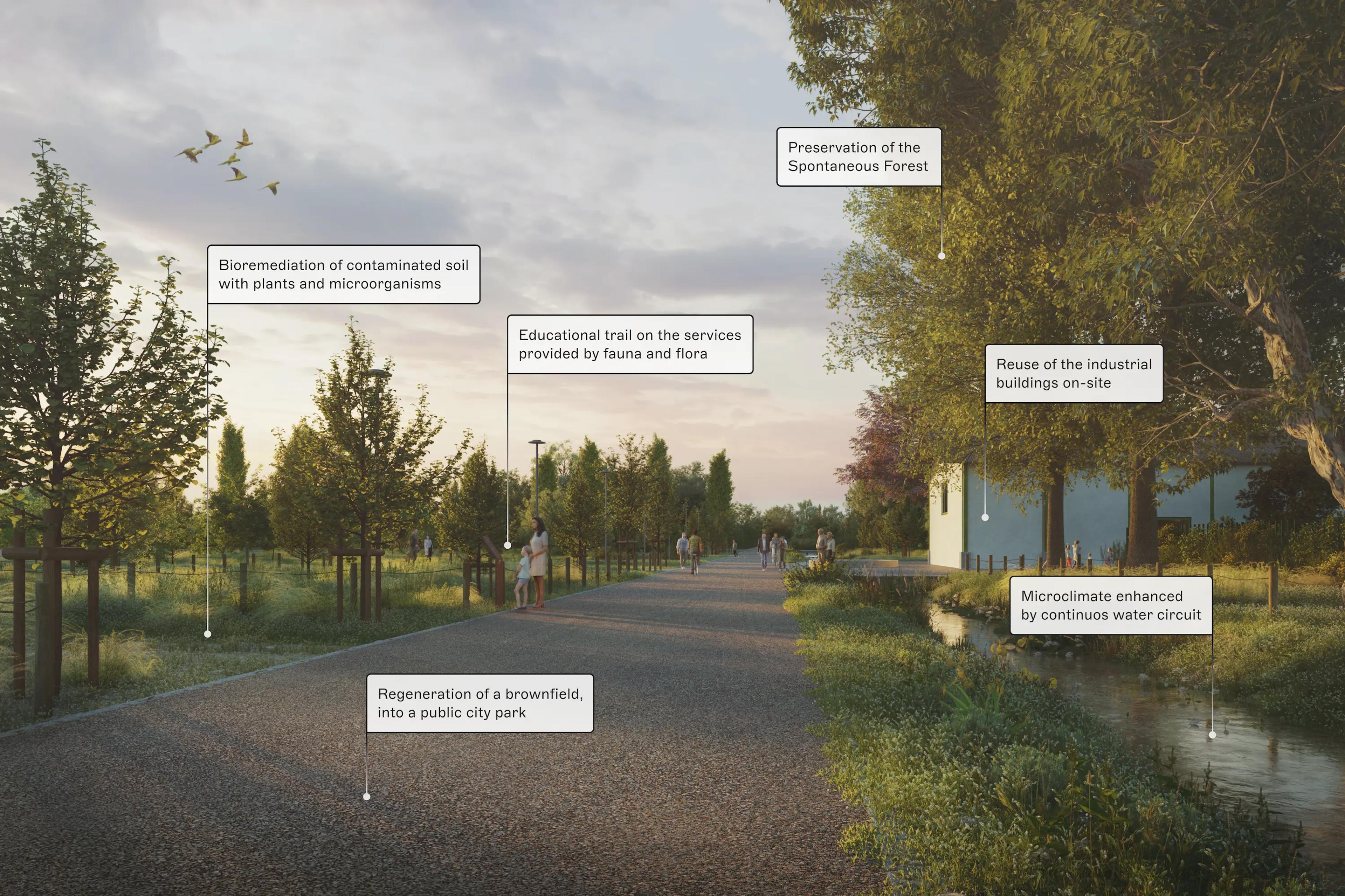
Through a step-by-step process, we help public administrations and private landowners to promote and develop innovative processes for long-term land transformation.
Through a multidisciplinary scientific approach and activities including field surveys, research, inventories, monitoring and experimental analyses, we build a detailed understanding of an area or individual site. We produce a baseline dataset and report that document existing conditions, identify problems and opportunities, and inform planning, design and communication.
Once the baseline has been defined, we work together with all stakeholders involved in the process to develop a shared vision and a strategy or master plan for implementing complex and innovative projects.